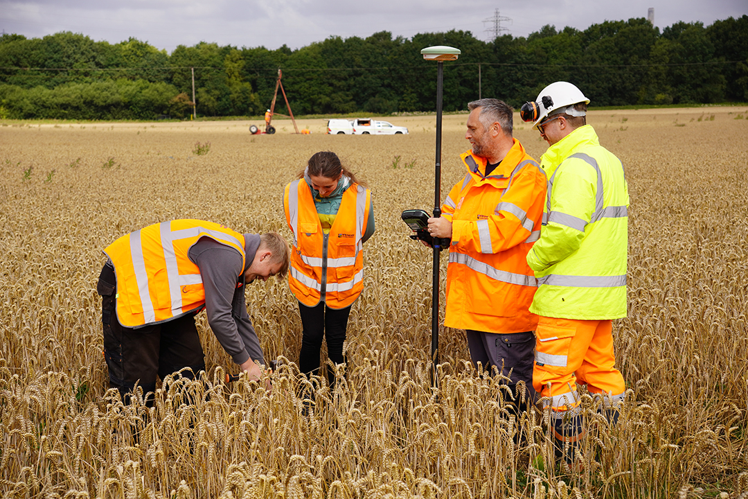
TOPOGRAPHIC SURVEYS

nationwide topographic surveys

What is a Topographic Survey?

A topographic survey is basically a detailed map of your land. We measure and record everything on your property such as building footprints, roads, trees, ground height and property boundaries.

Our skilled surveyors use robotic measuring tools and survey-grade GPS to collect accurate data. We then use specialist land surveying software to turn this information into a clear digital drawing that you can view on screen or print out, providing a detailed representation of the site.

WHAT ARE TOPOGRAPHIC SURVEYS USED FOR?

These surveys help you understand what’s on your land and what challenges you might face when developing it. This information is important for all kinds of projects – from adding an extension to your home to building major roads or railways.

For example, you might need to know how close your building is to a road or whether a piece of land is suitable for a new development. A topographical survey provides the reliable foundation you need to move forward with confidence.

Who Needs Topographic Surveys?

Architects, Engineers & Property Developers

They need accurate land information to design buildings that will actually work on your site. Our data ensures that their design proposals are both practical & buildable.

Planners & Land Agents

These professionals need to understand what's already on a site and what's around it before making decisions. Our data shows features like buildings, boundaries, and infrastructure that are mapped in context.

Landscape Architects & Garden Designers

They need to know about slopes, ground levels and existing features. A topographical survey allows them to create beautiful, outdoor spaces that work with the natural landscape.

Project Managers & Quantity Surveyors

These people oversee construction and manage budgets. Our surveys allow them to spot potential problems early and calculate material volumes. This helps them plan ahead and control costs.

WHY CHOOSE NTB SURVEY FOR TOPOGRAPHICAL SURVEYS?

With over 20 years of experience in the surveying industry, NTB Survey delivers reliable, accurate results using the latest technology. Whether you’re planning a home extension or managing a large-scale commercial development, we provide the precise information you need to get your project off to the best possible start—on time and with confidence.

NEED A TOPOGRAPHIC SURVEY?

We work on projects of all sizes – from small residential plots to major infrastructure projects. Our accurate & reliable surveys help you plan with confidence.

Fill in our enquiry form to tell us about your site. You can upload your drawings or project details, and we’ll give you a clear, no-obligation quote.