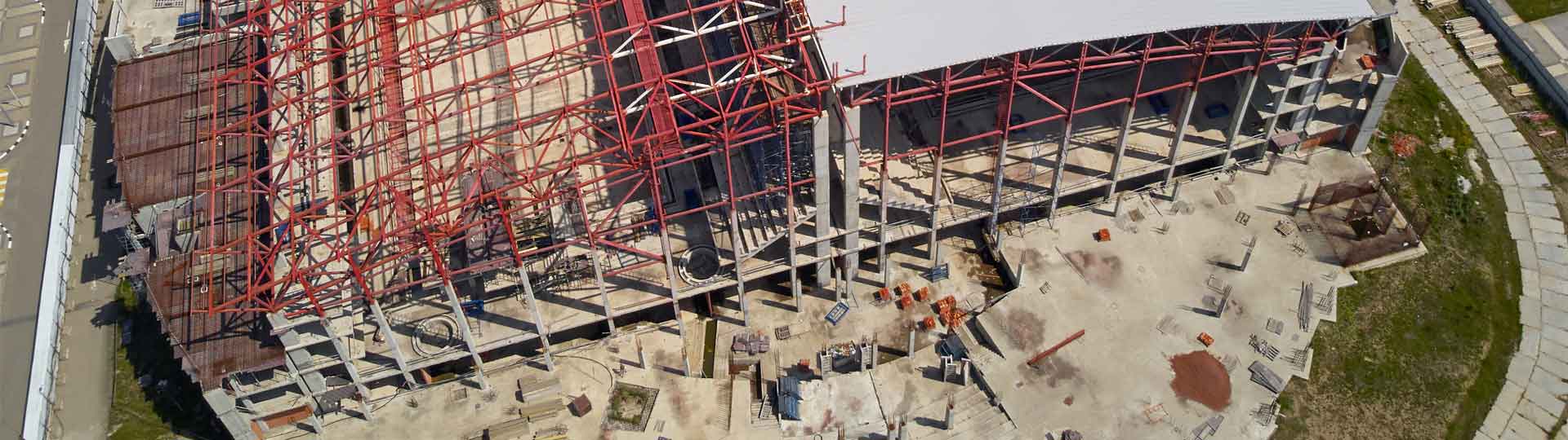
A drone survey is a fast, safe and cost-efficient way of surveying at height.
They are controlled at all times to provide detailed aerial data. This allows reports to be produced for areas which may otherwise be too difficult or too costly to access.
These types of surveys are sometimes referred to as a UAV (Unmanned Aerial Vehicle) survey.
WHAT TO EXPECT FROM NTB SURVEY
We offer drone surveys as an efficient and affordable way for our clients to get an aerial survey. They can be carried out quickly and easily, providing high-quality photographic and video data.
One of the key benefits of our drone surveys is that they can be used to access hard-to-reach places that surveyors and large equipment can’t get to.
As there isn’t anyone working at height, there are no health and safety concerns; the technology is doing the hard work.
There is also very minimal disruption on site when the survey is being undertaken, as areas don’t need to be cordoned off for cherry pickers etc.
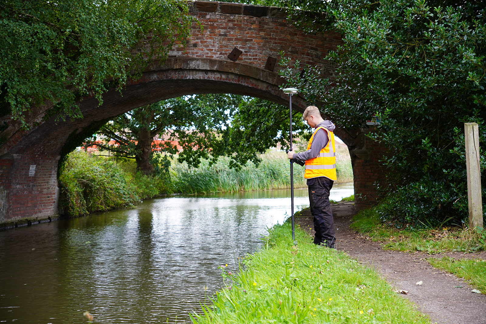
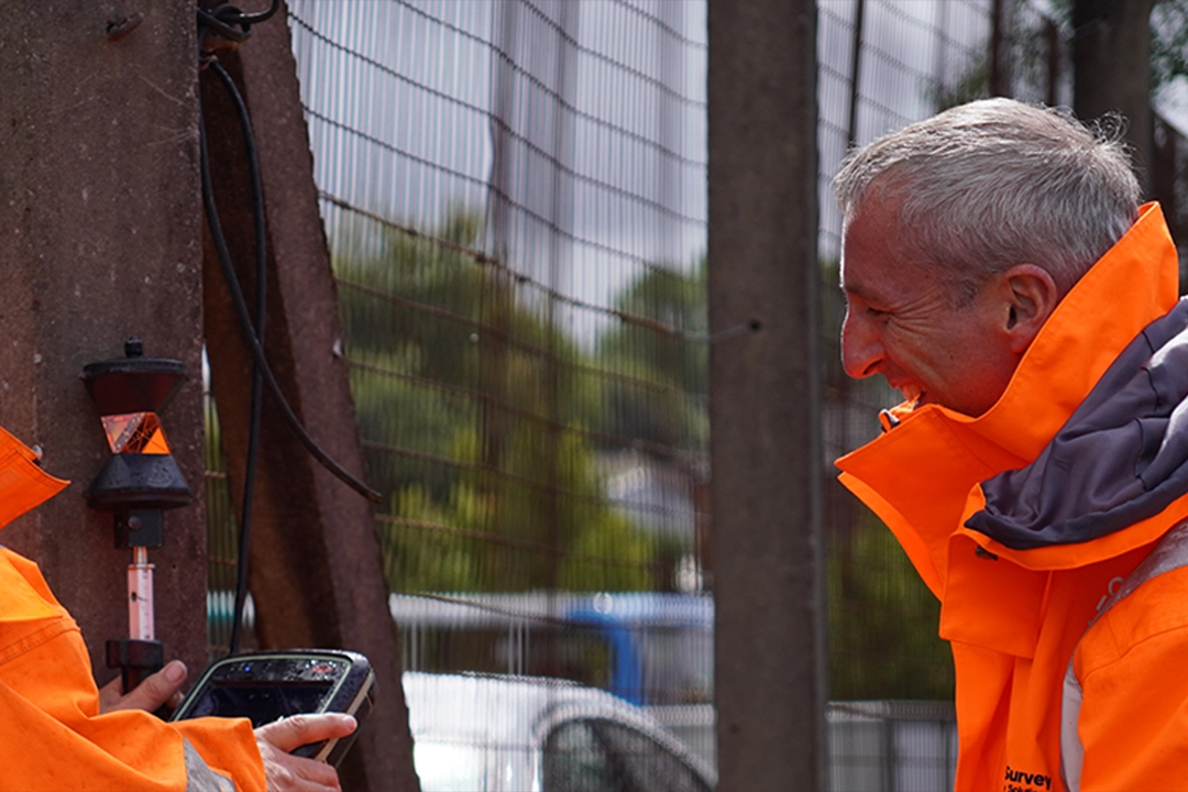
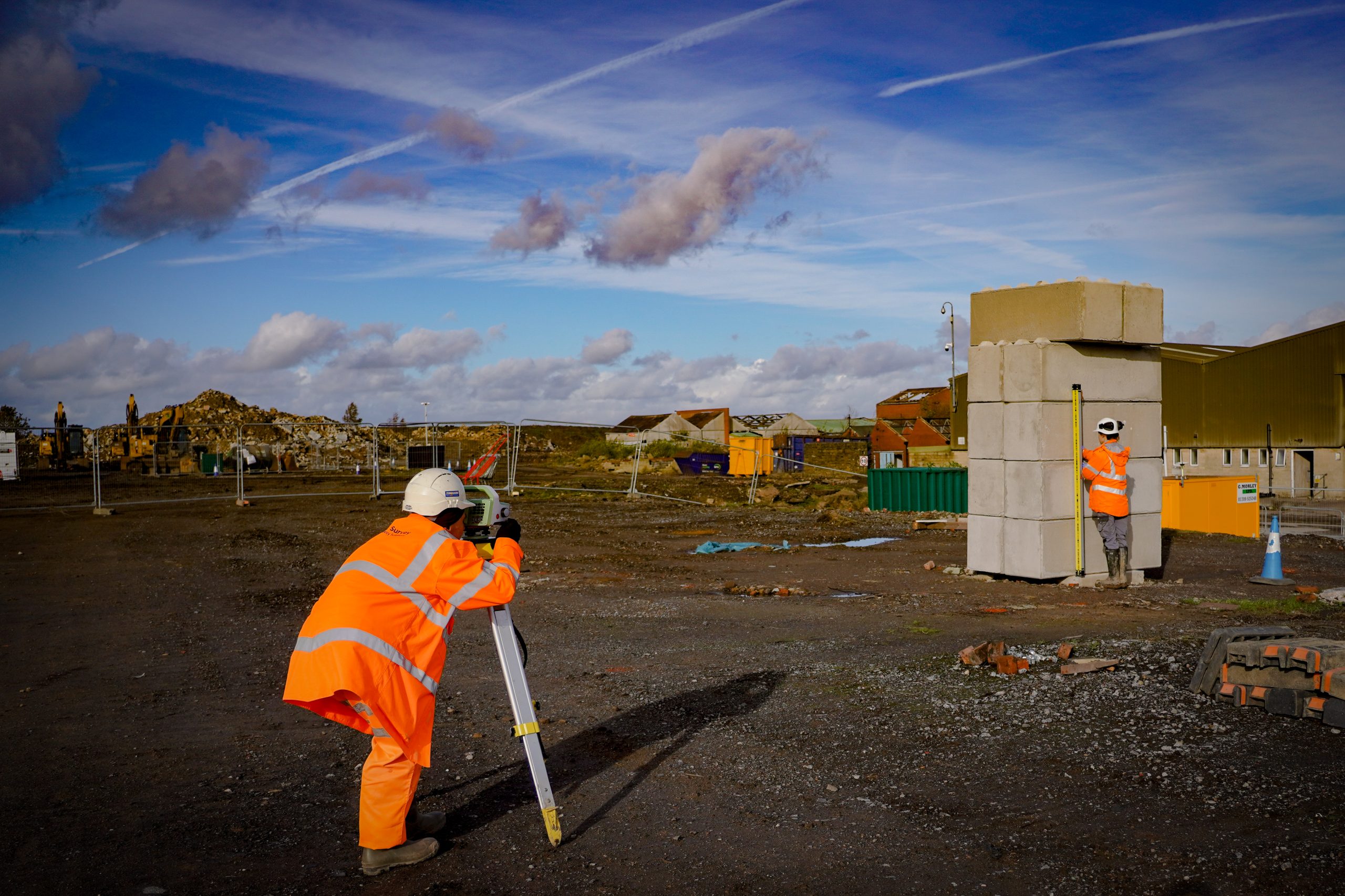
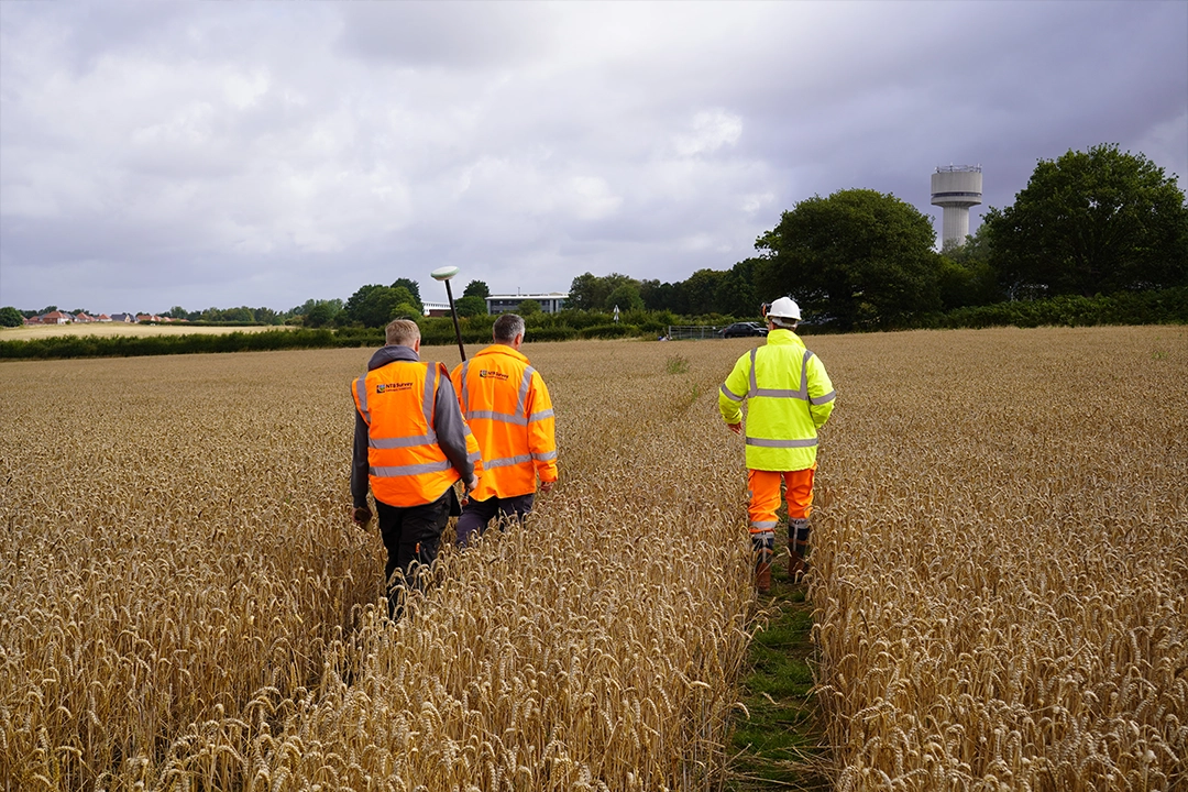
LAND SURVEY SERVICES
OFFERING A RANGE OF SURVEYING SERVICES FOR PROJECTS OF ALL SIZES, AT COMPETITIVE RATES, COVERING THE WHOLE OF THE UK.