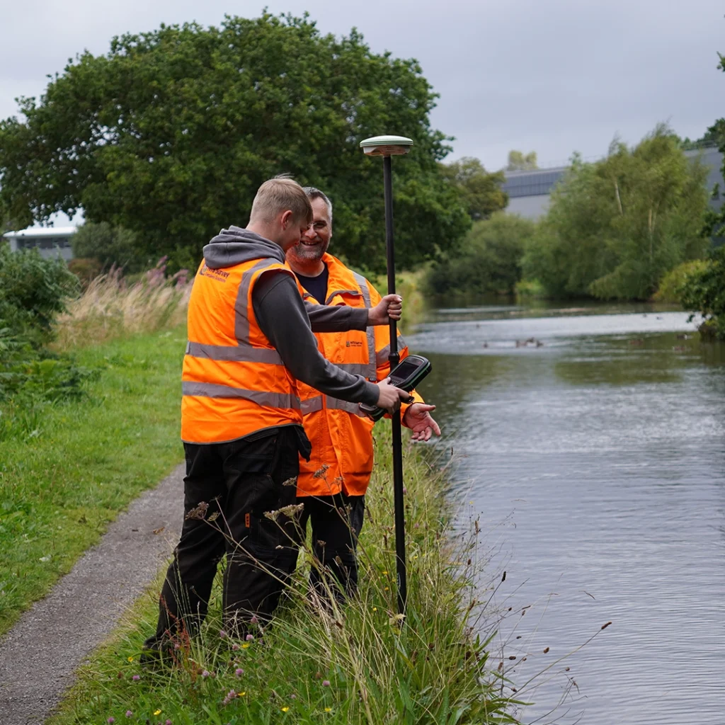
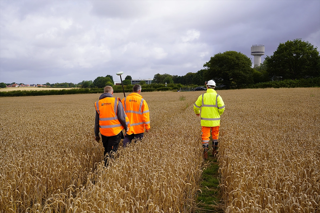
BOUNDARY SURVEYS
nationwide boundary surveys
A boundary survey is finding out exactly where your property lines are and creating an accurate map of them. It shows where your land legally starts and ends, highlighting any differences between what’s actually on the ground (like fences or walls) and what the legal documents say.
We use historical property documents, Ordnance Survey data, Land Registry information and precise on-site measurements to work out exactly where your boundaries are. We then create detailed digital drawings that can be used for legal, planning or development purposes.
Unclear or disputed boundaries can lead to expensive legal fights, construction delays or problems when selling your property.
A professional boundary survey removes the uncertainty by giving you a clear, accurate and independent view of where your legal boundaries lie – giving peace of mind to property owners, developers and legal professionals.
To find out exactly what land they own, sort out disputes with neighbours or prepare for extensions, new fencing, or landscaping work.
Boundary surveys provide accurate evidence in boundary disputes, supporting legal proceedings or mediation with professionally drawn plans.
Before building or submitting planning applications, they need to know exact boundary locations to avoid building on someone else's land and ensure they meet regulations.
Accurate boundary plans help during property sales or land transfers - especially when the Title Plan is unclear or contains historical inaccuracies.
We can create plans that meet Land Registry guidelines, ensuring your plans are drawn to the right scale, clearly labelled and match Ordnance Survey data.
These Plans are Needed for:
First registrations
Transfers of part
Lease registrations
Boundary agreements or determinations
Our Land Registry-compliant plans clearly show property boundaries, rights of way, access points and any easements or retained land – all drawn to the required legal and technical standards.
Whether you’re registering land for the first time, selling part of a plot or resolving a boundary dispute, we’ll make sure your submission is clear, accurate and compliant.
We combine technical accuracy with an understanding of the legal and practical implications of boundary issues. We work meticulously with property deeds, Land Registry documents and on-site measurements to produce reliable, high-quality boundary surveys that will stand up to scrutiny and can provide CPR 35 Compliant Reports.
Whether you’re dealing with a dispute, applying for planning permission or simply want peace of mind about your property boundaries, we’ll give you clear, professional advice backed by reliable survey data.
Whether you’re resolving a dispute, registering land or preparing for development, we’ll give you an accurate boundary plan you can trust.
Send us your details via our enquiry form and we’ll review your site, assess any Title documents, and provide a straightforward quote.