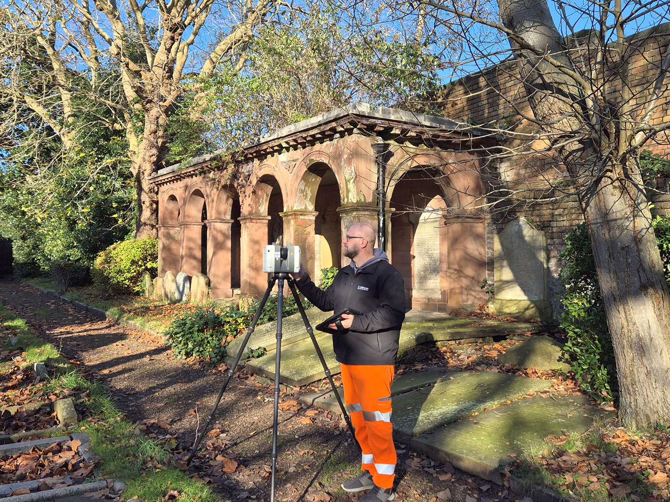
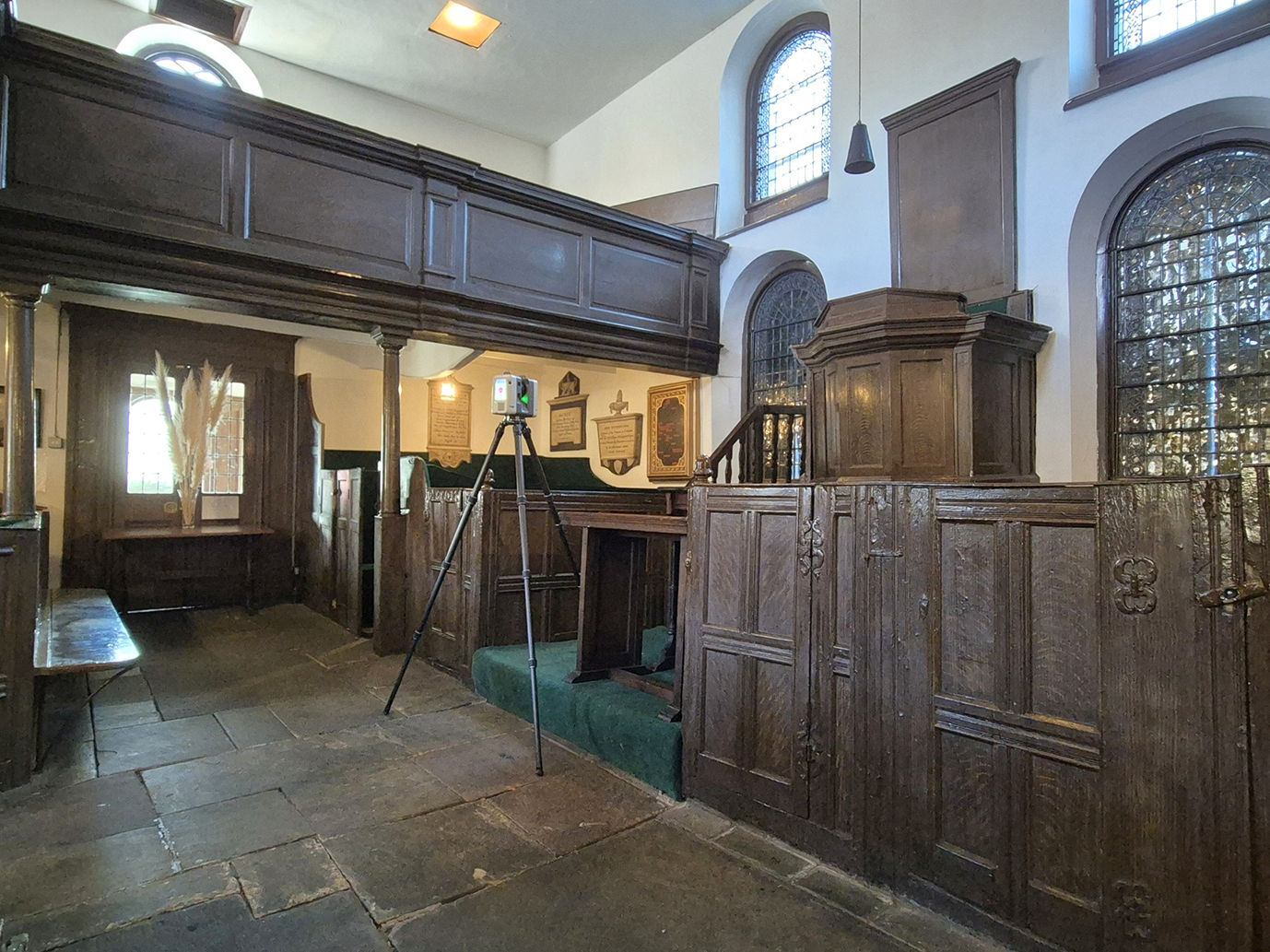
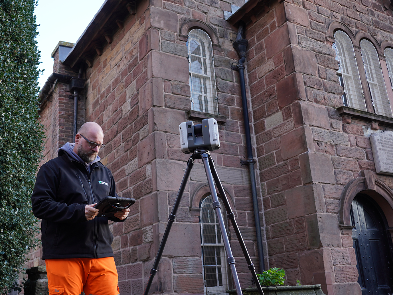
Ancient Chapel of Toxteth
Heritage & Conservation | Liverpool

Detailed floor plans showing internal layout, wall thicknesses, and spatial arrangement
Full external elevations for all façades, accurately representing architectural features
A roof plan defining ridges, slopes, valleys, and perimeter extents
Cross sections positioned to illustrate changes in level and structural form
Accurate recording of openings, buttresses, material boundaries, and historic details
