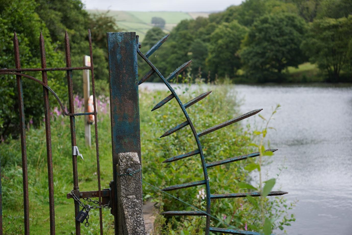
Owning a large site bounded by the river Sett, woodland and a reservoir, development opportunities were limited to say the least. With tired commercial buildings, failing to be upkept by the tenant, the clients site needed new life breathing into it. Supported by the local community, a new way of using the land was needed to be found.
This is where Land Surveying is critical to development of ideas.
Project Scope
NTB Survey was tasked with surveying the entirety of the site, over 8 hectares in total, providing extensive topographic detail in addition to surveying all of the trees of a trunk diameter greater then 200mm to enable a detailed Arboricultural Assessment report to be written.
What We Did
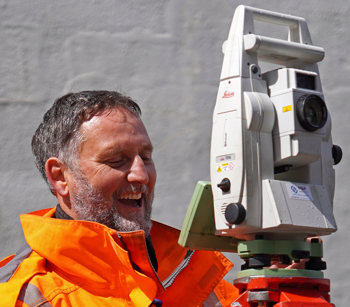
Deploying multiple 2-man survey teams, the site was surveyed using Leica TS16’s with the control observed to the National Grid coordinate system via Leica GPS units.
A full close looped traverse was completed for the site, maximising the accuracy and ensuring all design information could be drawn using a scale factor of 1, removing the need for grid transformations due to GPS.
Each tree was observed and recorded, ready for the arboriculturist to make his assessment and compile within the report.
CHALLENGES FACED & DELIVERABLES
Dense vegetation was overcome through the use of 2-man teams (as opposed to robotic total stations) to ensure time on site was kept as efficient as possible and the safety of the surveyors kept front and centre as they walked the steep slopes to capture the information required.
We Delivered:
Topographic survey in 2D & 3D .DWG & PDF format
Arboricultural Assessment Report
Tree Constraints Plan
Tree Schedule
PDF Hover-Zoom + Smooth Pan (Fixed Zoom Level)
Feedback & life after working with us
Given the complexity of the site and its surroundings, planning remains in the consultation phase with High Peak Council.
Reaching this stage has been possible thanks to the detailed survey information underpinning the design proposals, along with the Arboricultural Assessment report. These have helped shape the design parameters and ensured the Planning Authority has the accurate, reliable information it needs to make informed decisions.