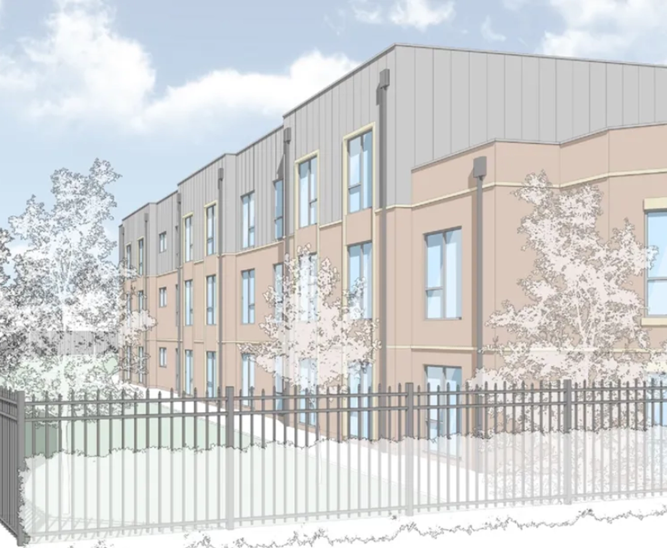
Torsion Care are experts in delivering communities for people to live and thrive in. Always on the look out for potential development opportunities and improving the outcomes for the communities that they work with in, Torsion work tirelessly in search of suitable sites that have a need for care and assisted living. After locating a site in Kingswinford, it was critical that Torsion understood the physical features of the plot and the constraints that were imposed because of them.
Project Scope
Full topographical survey of the plot, including positions of buildings surrounding the site, along with ridge and eaves levels of the properties. The survey was to include all tree’s, both on and adjacent to site, as well as a section of highway to aid with the design and achieve planning permission.
What We Did
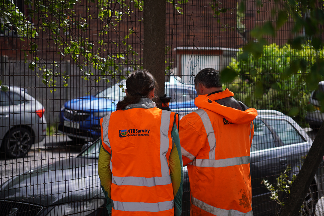
Upon receiving the instruction to commence with the survey works, a team was deployed to site in the depths of winter. The land surveyor walked the site to identify any constraints he may of faced, and to plan the best position for control stations to efficiently survey the site.
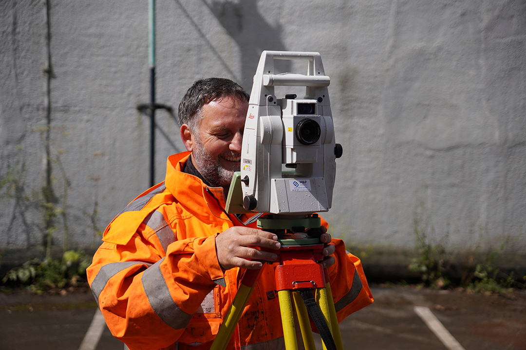
Once control was established and coordinated to National Grid via GPS, the Leica TS16 was then used to capture the required detail. Upon finishing the survey, the data was processed through N4CE and drawn in BricsCAD before being issued to the client.
CHALLENGES FACED & DELIVERABLES
Given the time of year the survey was undertaken, being in the depths of winter, snow and ice on the ground made the fieldwork element of this survey particularly challenging. Care had to be taken when detailing features around the site, with a keen eye for noticing features that where overlain by snow, which only an experienced surveyor can do.
Detailing positions of buildings and trees that were outside the site perimeter was done using reflectorless technology, allowing features to be detailed without intrusion or disruption to neighbouring properties.
We Delivered:
A full topographic survey was delivered in both 2D PDF format
Full topographic survey also delivered in 3D DWG format
PDF Hover-Zoom + Smooth Pan (Fixed Zoom Level)
Feedback & life after working with us
Following the issuing of the survey to Torsion, a design was progressed and planning for the site successfully submitted.