CUT-FILL ANALYSIS & VOLUME CALCULATIONS

LEARN MORE ABOUT NTB SURVEY SERVICES

WHAT IS CUT-FILL ANALYSIS?

Cut-fill analysis can be crucial at different times during a project – during the design phase, for the control and monitoring of site operations and also following the completion of a project.

We can produce everything from a simple volume of stockpile material through to a detailed bill of quantities covering site strip, material types, geotextiles and cut fill analysis; we have cost-effective solutions for projects of all sizes.

So that could be anything from measuring and quantifying stockpiles, through to quantification of earth works following the Method of Measurement for Highway Works.

WHAT TO EXPECT FROM NTB SURVEY

At NTB Survey, we have many years’ experience of both mapping and then setting out; the hands on experience this has given us means that we understand the numbers calculated by the software at our disposal.

This gives us the unique ability to spot errors within designs/data to further inform the construction process, giving surety on cost.

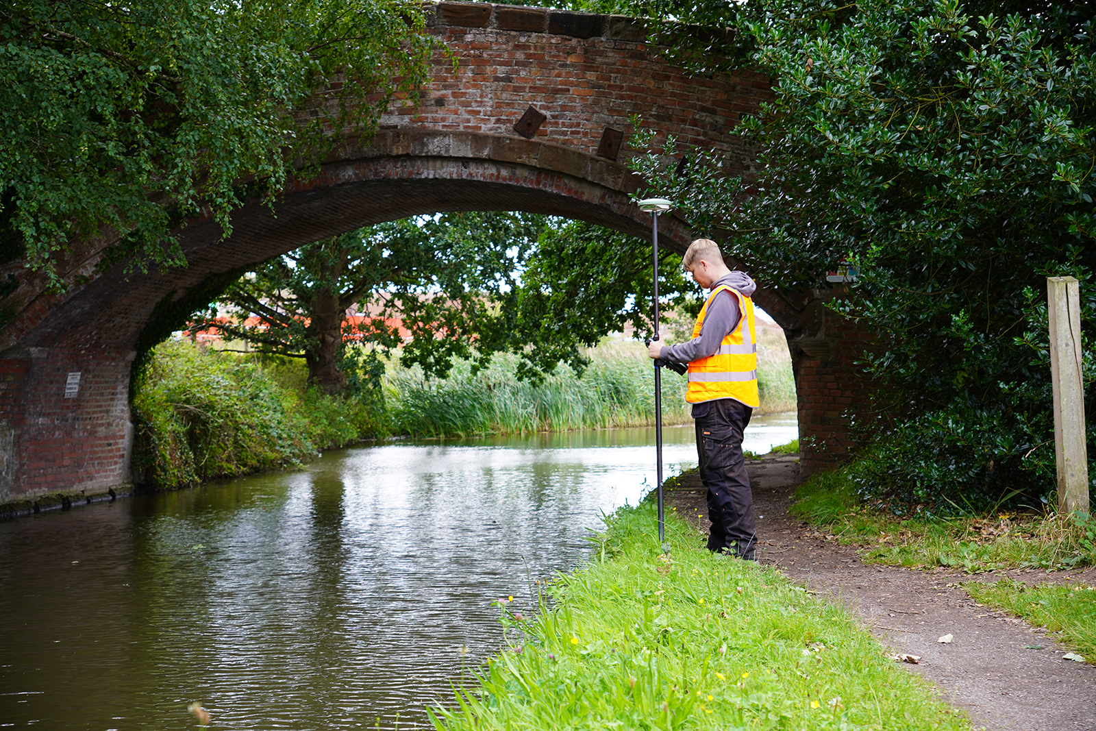
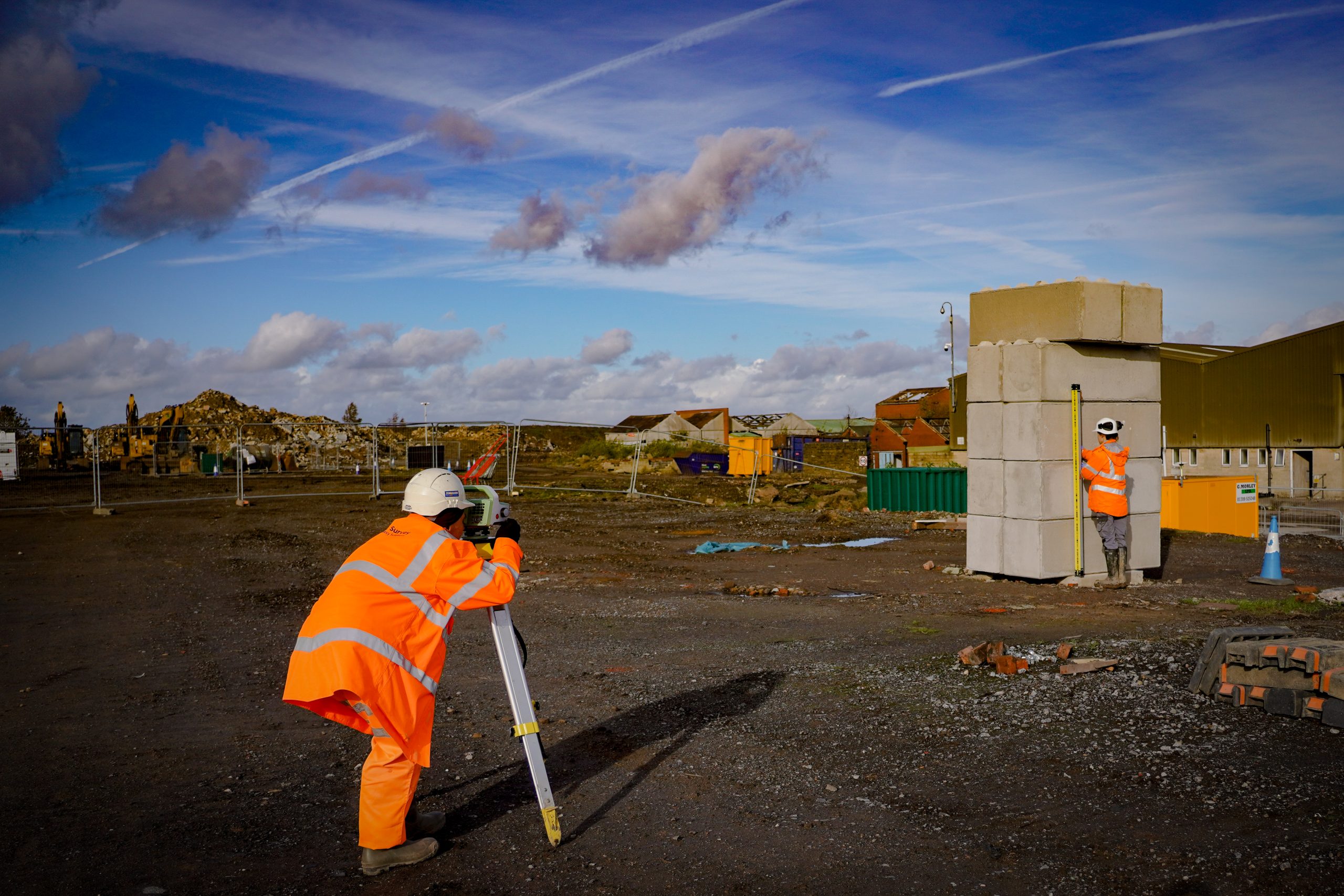
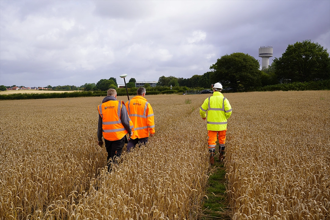
LAND SURVEY SERVICES

OFFERING A RANGE OF SURVEYING SERVICES FOR PROJECTS OF ALL SIZES, AT COMPETITIVE RATES, COVERING THE WHOLE OF THE UK.

Topographic Surveys

A topographic survey is basically a detailed map of your land. We measure and record everything on your property such as building footprints, roads, trees, ground height and property boundaries.

Measured Building Surveys

A measured building survey captures the precise dimensions and layout of a building’s structure, external facade and internal features.

Setting Out Engineering

Setting out is taking your building position from a design drawing and marking out exactly where everything goes on the actual ground. It’s like creating a life-size version of your drawings.

Settlement Monitoring

Settlement monitoring is keeping track of whether buildings, land or structures are moving or sinking over time. We use precise equipment to measure tiny movements.

Boundary Surveys

A boundary survey is finding out exactly where your property lines are and creating an accurate map of them. It shows where your land legally starts and ends.

Cut-fill Analysis & Volume Calculations

Calculate accurate volumes for earthworks, stockpiles, and other land features to support construction projects.

Drone Surveys

Offering a quick, efficient and affordable way to get an aerial survey, resulting in high-quality photographic and video data.

Utility Surveys

Identify and map underground utilities such as gas, water, sewer, and electrical lines to prevent conflicts and ensure safety during construction and excavation activities to PAS128 Standards.

Tree Surveys

British Standard 5837:2012: Tree Surveys, Arboricultural Impact Assessments, and Arboricultural Method Statements.