UTILITY SURVEYS

LEARN MORE ABOUT NTB SURVEY SERVICES

WHAT IS A UTILITY SURVEY?

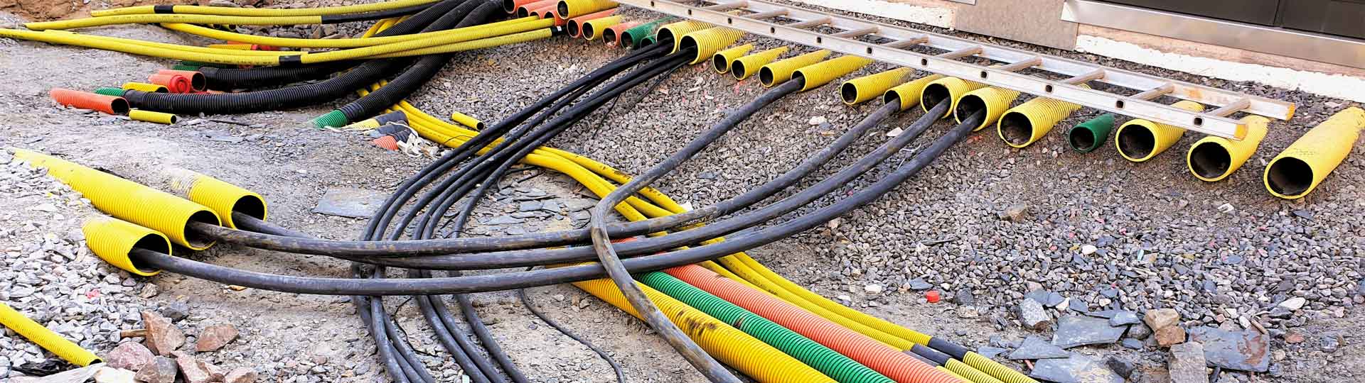
A utility survey allows us to accurately locate underground utilities and infrastructure.

Elements that can be detected include drainage, gas, water, electricity and telecommunications.

They provide an accurate map of buried elements to ensure that construction work can be carried out safely, without any costly mistakes.

WHAT TO EXPECT FROM NTB SURVEY

We have an unrivalled depth of experience in carrying out these types of surveys, all of which are conducted to PAS128.

We use the latest utility detection technology to locate all buried services.

With our attention to detail, you’ll receive accurate surveys, showing all the services you need to help you carry out your construction project.

LAND SURVEY SERVICES

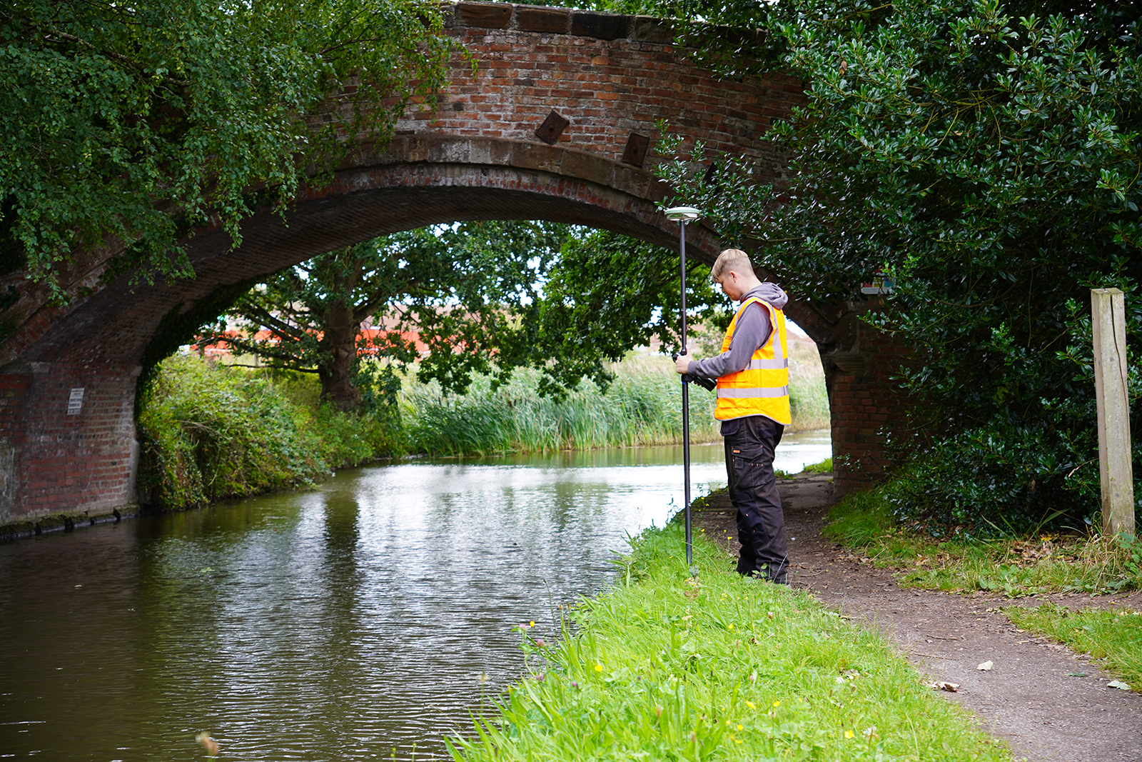
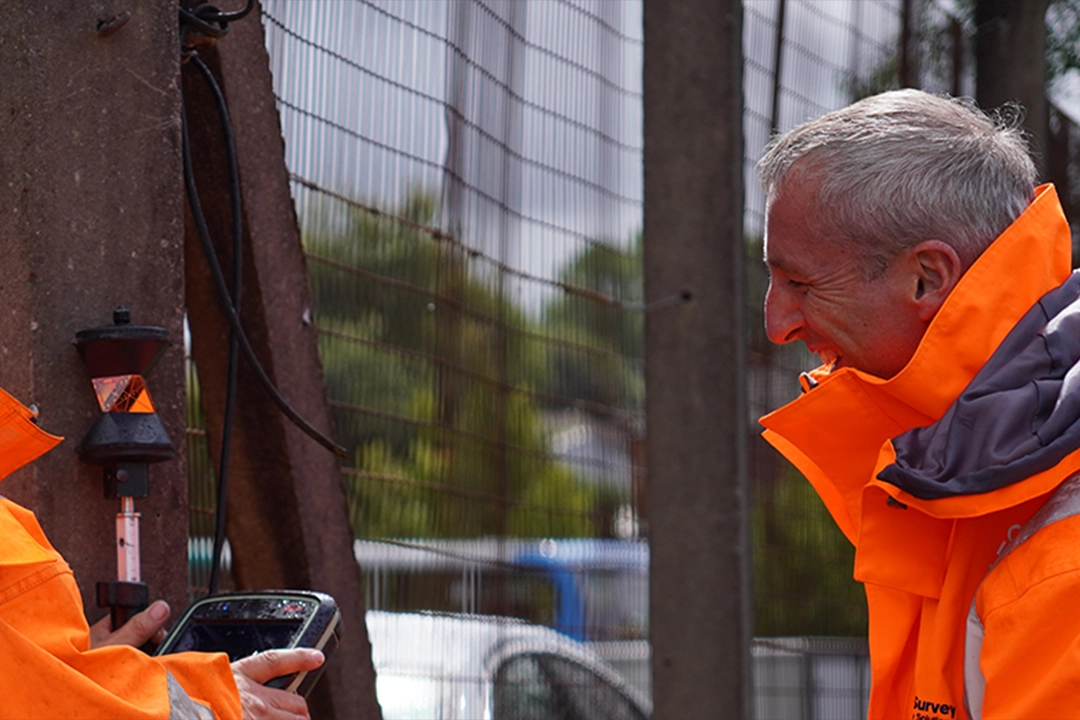
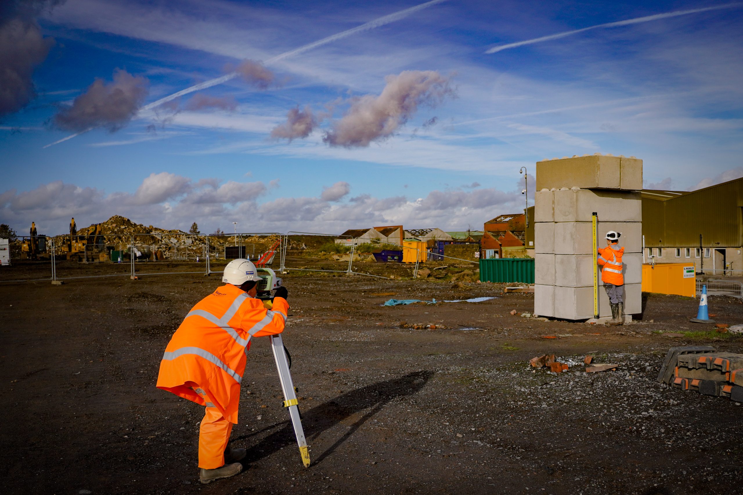
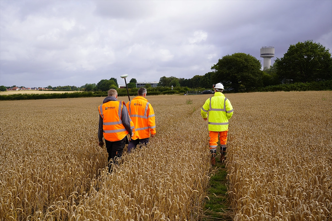
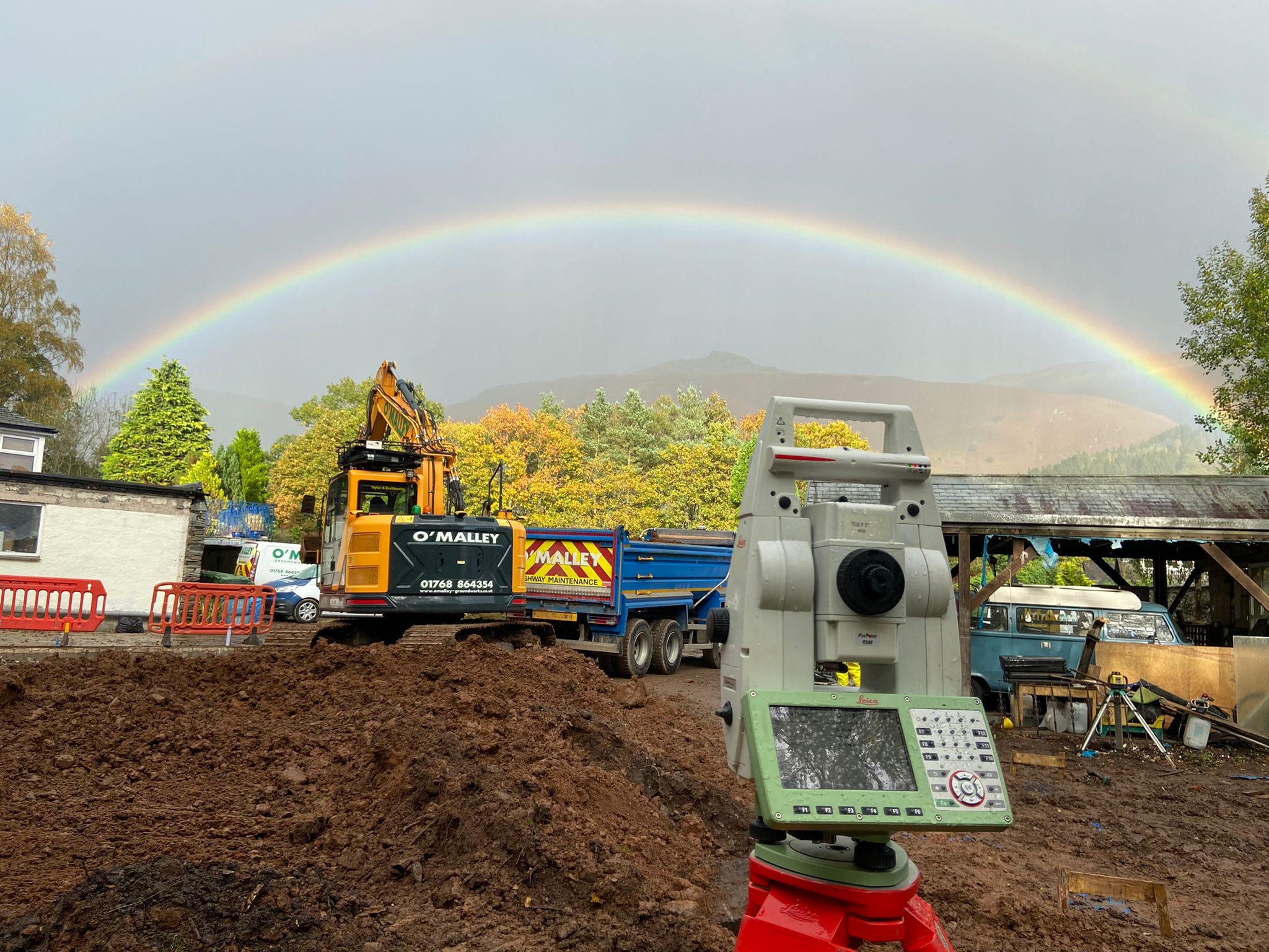
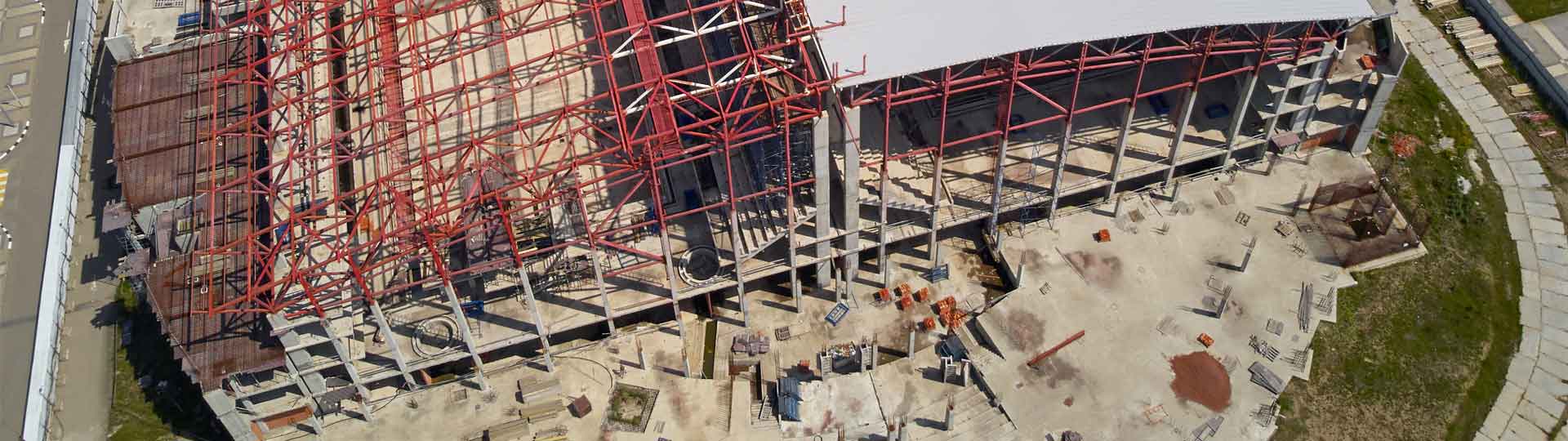
OFFERING A RANGE OF SURVEYING SERVICES FOR PROJECTS OF ALL SIZES, AT COMPETITIVE RATES, COVERING THE WHOLE OF THE UK.

Topographic Surveys

A topographic survey is basically a detailed map of your land. We measure and record everything on your property such as building footprints, roads, trees, ground height and property boundaries.

Measured Building Surveys

A measured building survey captures the precise dimensions and layout of a building’s structure, external facade and internal features.

Setting Out Engineering

Setting out is taking your building position from a design drawing and marking out exactly where everything goes on the actual ground. It’s like creating a life-size version of your drawings.

Settlement Monitoring

Settlement monitoring is keeping track of whether buildings, land or structures are moving or sinking over time. We use precise equipment to measure tiny movements.

Boundary Surveys

A boundary survey is finding out exactly where your property lines are and creating an accurate map of them. It shows where your land legally starts and ends.

Cut-fill Analysis & Volume Calculations

Calculate accurate volumes for earthworks, stockpiles, and other land features to support construction projects.

Drone Surveys

Offering a quick, efficient and affordable way to get an aerial survey, resulting in high-quality photographic and video data.

Utility Surveys

Identify and map underground utilities such as gas, water, sewer, and electrical lines to prevent conflicts and ensure safety during construction and excavation activities to PAS128 Standards.

Tree Surveys

British Standard 5837:2012: Tree Surveys, Arboricultural Impact Assessments, and Arboricultural Method Statements.