Good Friday this year was spent basking at White Ghyll, Langdale, in the natural beauty that is the Lake District.
This picture was taken as I tentatively move from the safety of the corner of the capping roof onto the exposed arete on the 2nd pitch of the route, 200ft above the gully bottom.
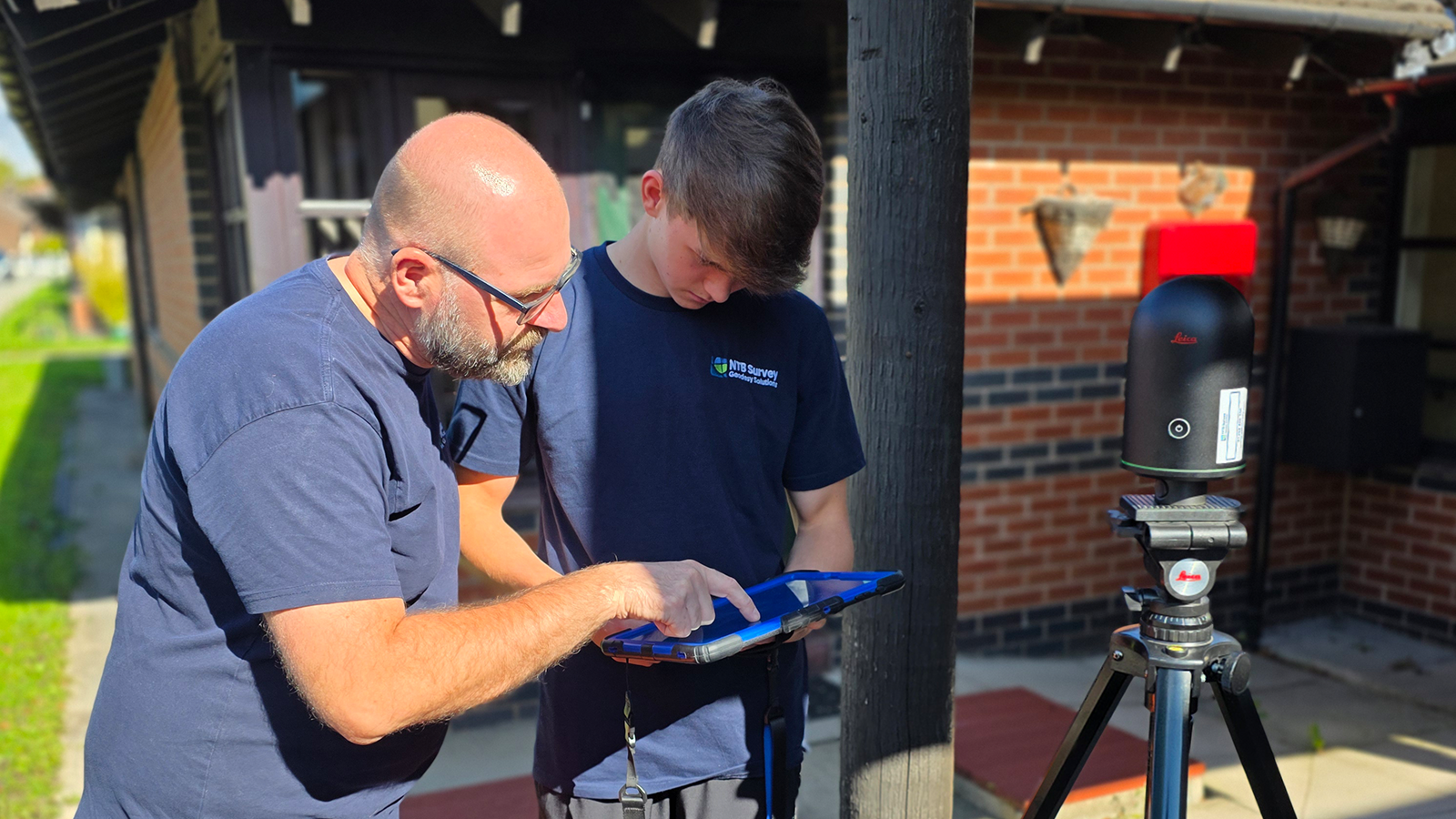
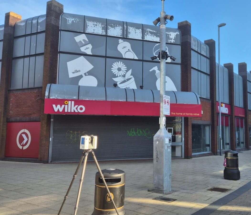
Ease of route finding, not only whilst on the climbing pitches, but both getting to and from the crag, is only possible thanks to the mapping that has gone before.
From the hand sketched guides of old, to the modern apps we have on our smartphones, the science of geodesy plays an important role in our lives that help us navigate through the environment we choose to interact with.
So, if you see me (or Bob the dog) at the crag or having a beer after in the Old Dungeon Ghyll, I’ll happily discuss topographic surveys and the benefits of mapping all day long!
Though I am told I can talk the hind legs of a donkey after a beer or 2, so be warned…