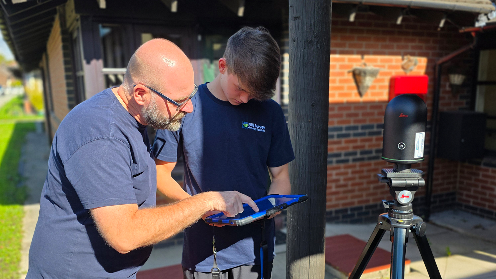
Having quoted for surveys for many years now, the procurement process has always fascinated me – even more so now, as NTB Survey Ltd is becoming more and more established. As with all aspects of commissioning, there’s good and bad processes, and compromise can be found in different guises along the way. When it comes to surveying (whether that’s topographical, measured, underground service tracing, quantity, monitoring, or even procuring a site engineer), the end result should be kept firmly in mind.
Questions need to be asked to determine the main purpose of the survey and what that data will be used for. Typically, they’re used to assess land for construction purposes but there is a myriad of other uses and these need to be explored. Land surveys may be commissioned for flood assessments, visualisations (incorporating visuals from architect’s designs), ecological reasons (accurate positioning of badger sets for example), site investigation works (assists with targeting locations, helped when suitably contoured), boundary resolutions, quantity assessment & volume derivation or simply just for positioning of a design layout. Obviously, given the scale of uses, the positions of those commissioning vary remarkably, ranging from an architectural technician given their first design brief through to Chief Quantity Surveyors and Managing Directors requiring a more nuanced method of data collection.
Now that I’ve identified some of the different uses of a survey, and the people who would commission them, let me give you 3 contrasting examples of work recently undertaken by ourselves and the way that we helped each client individually and tailored a bespoke solution to meet their needs.
Example 1 – Quality
Detail, data collection, that’s what surveying is all about, right? But here’s the thing, how much detail/data do you need? Tricky question, isn’t it? I would say that getting this right is the crux of commissioning a survey – too much and you’ve blown your budget or too little and you can’t complete the design. Speak with the surveyor. They have the experience to be able to advise on the level of detail required, whilst also understanding the cost implications for you. We have recently assisted a client in exactly this manner. Given the complexity of the project, and that the survey would be used multiple times by a range of professions, it quickly became apparent that a “belt and braces” survey would be needed. This meant that although the typical red line boundary identifying the site area was clear, surveying only within this would not facilitate the potential requirements of 278 works, planning constraints nor give enough utility information. We discussed the requirements in detail with our client, resulting in an additional length of road being surveyed, both north and south of the site, as well as building footprints with ridge and eaves, outside the boundary area. Although this was more costly initially, it ended up saving the project money, by not having to return to pick up additional features and also saved time by providing all the data the engineers needed to complete the road design.
Example 2 – Cost
Boundary features. Critical when a plot of land has been purchased for development with the intent of demolition of existing structures and re-development with multiple properties – but what do you do when the site is overgrown with 10-metre-high fir trees and brambles taken straight from the set of The Day Of The Triffids? Tell the surveyor in the brief – common theme here isn’t there?! This means that the importance of the boundaries will not be overlooked. The surveyor will position the boundary as accurately as possible, given the site conditions, enabling the architect to overlay any design within the constraints of the existing buildings and site features, as well as the boundaries. It will also enable the surveyor to prioritise particular features in preference over others that may be superfluous once the demolition work has been completed – this results in a value for money survey that is completed within a minimal timeframe, helping to reduce overall costs.
Example 3 – Speed
Muck, it’s found on every building site you go to. You can frequently see excavators digging an inordinate amount of it out of the ground, transporting it across site to a place where no one else is working until the following day – when it just so happens that the position of the re-located muck is exactly where the next phase of piling is to commence. Rigs booked, it needs shifting, but how do you know how many wagons to put on to get it moved in time for the pilers to set up on site, without wasting additional costs? Simple. Contact the surveyor and inform them that the end result of the survey is for a quantity of the material to be known, that day, so that the contracts manager can organise excavators and wagons to move the offending stockpile of arisings prior to rig arrival. The key here is speed. Any delays in getting the quantity across could impede the piling, due to materials being in the wrong position at the wrong time. With this in mind, the surveyor can organise the day to survey the stockpile sufficiently enough to derive an accurate quantity, and quick enough to allow processing of the data to produce the volume that day. This then helps the construction site with the fluidity of operations and will also be used further down the line as cost evidence of the material moved for valuation purposes, by both the civil engineering contractor and the developer.
Summary
The key here is communication. If you can accurately communicate your needs to the people you’re engaging with, you will undoubtedly achieve the best outcome. Simple.
And just remember this little adage that my Dad told me when starting off in construction, “Son, when it comes to building, you can have 2 out of these 3 – quality, cost and speed. You can build quality fast but that comes at a cost, or you can build something fast cheaply but sacrifice quality”. Which one will you choose?